Detective Machine PQWT-M200 Measurements Instruments Automatic Water Finder
Product Description


Detective Machine PQWT-M200 Measurements Instruments Automatic Water Finder
Specification
|
item
|
value
|
|
Grade
|
Industrial
|
|
Warranty
|
2 years
|
|
Customized support
|
OEM
|
|
Place of Origin
|
Hunan,China
|
|
Brand Name
|
PQWT
|
|
Model Number
|
PQWT-M200
|
|
Measurement Depth
|
200m
|
|
Accuracy
|
more than 92%
|
|
Working hours
|
7-8 Hours
|
|
Feature
|
Easy Operation; portable
|
|
Usage
|
Mobile Water Detector
|
Packing & Delivery


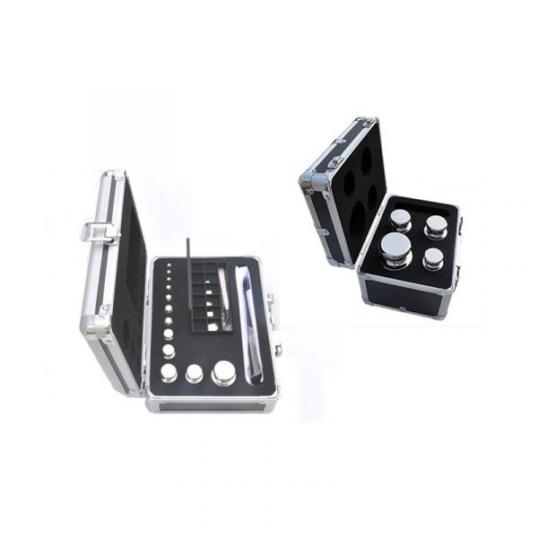
Alumium specialized flight case + strong carton+corner guard
Company Profile


Hunan Puqi Geologic Exploration Equipment Institute is a professional institution in china who engaged in the R & D, manufacturing and sales of pipe water leak detector, leakage automatic analyzer, geophysical prospecting underground water detector, cavity detector, mine locator, dam piping detector, borehole inspection camera and pipeline detector. More than 200 staffs, including 16 senior engineer, 49 intermediate engineer.
Over the years, Puqi focuses on Hydrogeological exploration, Intelligent data-capture technology and Application of special technique, carrying out Scientific research, Technical services and Marketing application. We have completed more than 65 items including National ministries, Sino-foreign cooperation and major scientific research projects. Having the honour to win a number of national research awards, with more than 117 national patents.
Meanwhile, Puqi has established long term cooperation relationship with many scientific research institutes in Germany, US, Australia, Hong Kong, and other countries and regions. The number of geological data laboratories has been established at multiple places in China, using our own unique software to carry out long term data collection, analysis, and detection for different geologic structure, and set up the differential database of different geologic structure area.
FAQ
1. How to proceed if the ground is concave or convex or in the form of a slope?
It is usually recommended to measure the perpendicular line to the slope. For ordinary lowlands and highlands, the impact is not effect if the drop of two electrode height does not exceed 1.5 meters. Because the measuring points are measured vertically downwards, it is only necessary to subtract the corresponding drop.
It is usually recommended to measure the perpendicular line to the slope. For ordinary lowlands and highlands, the impact is not effect if the drop of two electrode height does not exceed 1.5 meters. Because the measuring points are measured vertically downwards, it is only necessary to subtract the corresponding drop.
2. Does the measuring line have to be oriented in a magnetic orientation relative to the north or not?
No, If you are familiar with the local terrain, you can choose to measure the land easily with water, but there is no limit to the direction.
If you do not know the local condition, you can compare the two measurements in North and South, East and West , directions to find a good point.
No, If you are familiar with the local terrain, you can choose to measure the land easily with water, but there is no limit to the direction.
If you do not know the local condition, you can compare the two measurements in North and South, East and West , directions to find a good point.
3.Can we get the volume of water availability?
According to the local water level and know the about water is large or small , But it can’t make the exactly water volume
4. How much Min. & max. Points record In one line for scaring?
The machine can store 999lines, and each line is 999point.(but we are suggestion it is 15-30 point is enough for each line, it can show the complete the underground structure)
5. How much one line length minimum?
The length is not limited, usually one line suggests at least 15 points. If the length is not enough, few points can be measured.


Reviews
There are no reviews yet.